
Intelligence Built for Real Decisions
Estate Vision Studios is an aerial intelligence and visual strategy firm built for professionals who value clarity, precision, and outcomes.
From cinematic real estate marketing to data-driven analytics for agriculture, construction, and insurance, we translate aerial data into insight, and insight into action. Our work isn’t about flying drones. It’s about delivering perspective that informs better decisions, faster.
Our Foundation
Estate Vision Studios was built at the intersection of real-world operations, technology, and problem solving.
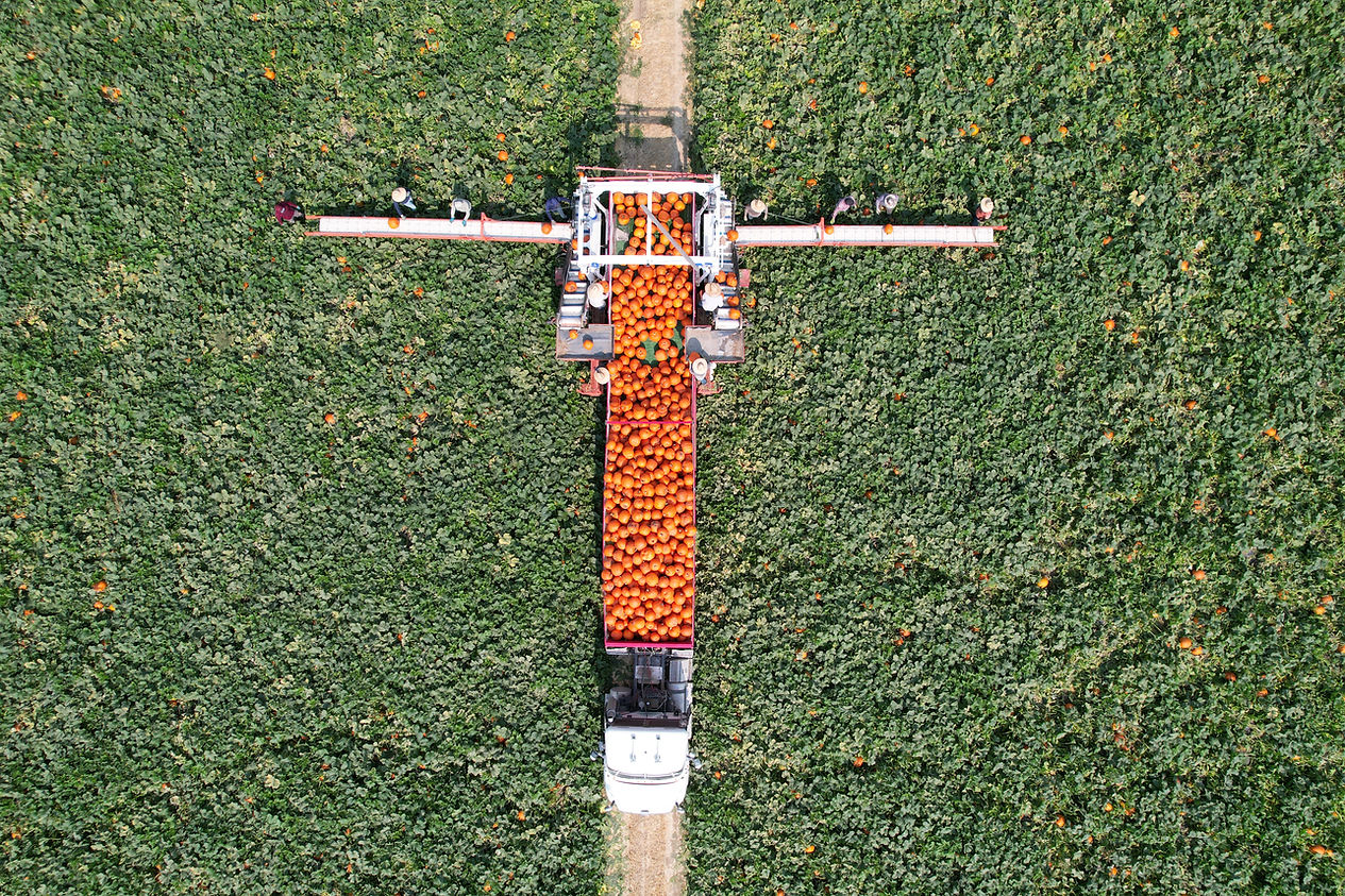
Our roots are in production agriculture, where accuracy, timing, and execution are non-negotiable. That experience shaped how we approach every project: decisions are only as good as the data behind them, and clarity matters more than volume.
As our work expanded into real estate, construction, and insurance, the same principles applied. Whether positioning a home, mapping a site, or analyzing a field, the goal is always the same; provide information that is reliable, actionable, and defensible.

OUR MISSION
To deliver aerial intelligence that reduces uncertainty, strengthens decision-making, and produces measurable outcomes.
Estate Vision Studios combines advanced aerial platforms with disciplined analytics to help clients move faster, mitigate risk, and operate with confidence. Every engagement is designed to provide clarity, not just data, so decisions are informed, defensible, and aligned with real-world objectives.

What We Do
Real Estate Media
High-impact visual assets designed to position listings strategically, elevate presentation, and command attention in competitive markets.
Agricultural Analytics
Stand counts, crop health analysis, and field intelligence that support data-driven agronomic decisions and operational efficiency.
Construction & Survey
RTK-precise mapping, volumetrics, and progress documentation built for planning, verification, and accountability across project timelines.
Insurance Documentation
Objective aerial evidence, condition reporting, and chain-of-custody deliverables designed to support claims, assessments, and risk evaluation.
Every deliverable is built to be actionable, defensible, and decision-ready.

About
Our Divisions
-
Agrisight Analytics
Precision aerial analytics and field intelligence for agriculture and land management. Designed to support informed decisions, operational efficiency, and measurable outcomes. -
Real Estate Media
Cinematic marketing and agent branding assets engineered to position properties strategically, elevate perception, and drive stronger engagement. -
Construction & 3D Mapping
High-accuracy site data, RTK mapping, and volumetric reporting built for planning, verification, and progress tracking throughout the project lifecycle. -
Insurance & Claims
Objective aerial documentation and defensible data supporting inspections, loss verification, and claims evaluation with clear chain-of-custody standards.

Why Estate Vision Studios?
-
Deep operational roots in agriculture, real estate, and real-world production environments
-
FAA Part 107 certified, fully insured, and compliant
-
Enterprise-grade platforms including RTK, LiDAR, and multispectral systems
-
Clean, professional deliverables with fast, reliable turnaround
-
Proven experience across real estate, agriculture, construction, and insurance
-
We don’t just capture data, we help clients use it with confidence
Our value isn’t in the technology we use, it’s in the decisions it enables.

Meet the Team


Built for Clients Who Value Clarity
If your work depends on accuracy, speed, and confidence, EVS is built to support your decisions.